Where to Stay in Tokushima: The Best Areas for Awa Odori, Naruto, Iya and the South Coast
Kai
Setouchi Notes
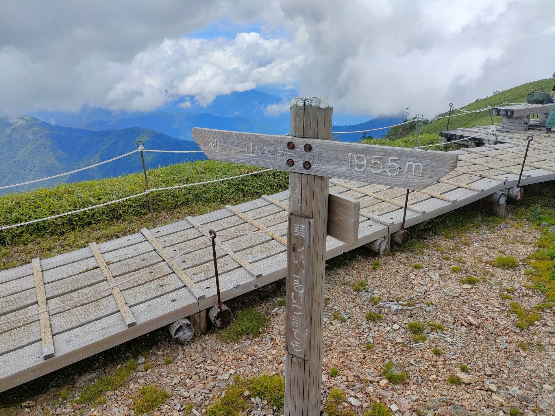
Quick answer: Mt Tsurugi (剣山, 1,955 m) is the second-highest peak in western Japan, and one of the easier high mountains to climb: a chairlift from Minokoshi (¥2,300 return) takes you most of the way up, and the summit is about 40 minutes’ walk from the top station on the shortest trail. The lift and the summit hut run from mid-April to the end of November, and the mountain roads close in winter from late December — so if you’re reading this in late autumn, plan for next spring. You really need a car.
I’ve been up Mt Tsurugi a few times, taking the lift from Minokoshi and walking from the top of the lift to the summit. I haven’t stayed at the summit hut, walked on to Jirogyu or hiked all the way up without the lift, so those parts are what I’ve researched.
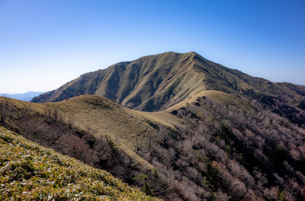
Mt Tsurugi is in the mountains of western Tokushima, between the Iya Valley and Tsurugi Town. It’s one of Japan’s 100 Famous Mountains and part of a quasi-national park. The trailhead at Minokoshi (見ノ越) is already at about 1,400 m, and with the lift, the walking is short — a rare chance to stand on a high Japanese summit without a long climb.
The Tsurugisan tourist lift runs from Minokoshi Station (about 1,420 m) to Nishijima Station (西島, about 1,750 m), 830 m long and about 15 minutes.
| Season | Mid-April to the end of November (weather permitting). No lift December–March |
| Hours | 9:00–16:30. From 8:00 in Golden Week, in August, and on weekends and holidays in October |
| Adult fare | ¥2,300 return / ¥1,300 one way |
| Child (6–15) | ¥1,100 return / ¥650 one way |
Fare change: many English pages still show ¥1,900 return. That’s out of date — the current fare is ¥2,300. Older listings say the lift takes cash only, so bring cash. Check the exact closing date for the season before you go.
From Nishijima there are three main trails:
| Route | Distance | Up | Down |
|---|---|---|---|
| Ridge trail (尾根道) — shortest, well-maintained | 900 m | about 40 min | about 30 min |
| Via Ōtsurugi Shrine and the sacred spring | 1,200 m | about 60 min | about 45 min |
| Walking trail (遊歩道) via a viewpoint | 1,980 m | about 80 min | about 60 min |
Allow about 1½–2½ hours for the round trip from the lift, plus time at the top.
The walking trail starts beside Tsurugi Shrine (劔神社) next to the Minokoshi car park. Minokoshi to Nishijima on foot takes about 40–50 minutes, and a round trip from Minokoshi to the summit without the lift is about 2½–3 hours.
From the summit, a ridge trail continues to Jirogyu (次郎笈), the neighbouring peak — about 1 hour each way, adding 1½–2 hours to your day. A full day from Minokoshi to Mt Tsurugi and Jirogyu and back takes about 5–5½ hours.
The ridge is open bamboo grass with no shelter, so it’s exposed to wind and fog. Only go in settled weather and with time to spare.
Tsurugisan Chōjō Hutte (剣山頂上ヒュッテ) is a privately run hut just below the summit.
| Route | From | Time |
|---|---|---|
| R438 via Sadamitsu (Tsurugi Town) | Mima IC (Tokushima Expressway), about 43 km | about 90 min |
| R492 via Anabuki (Mima City) | Wakimachi IC, about 50 km | about 100 min |
| R32 then R439 via Ikeda, Oboke and Higashi-Iya | Ikawa-Ikeda IC, about 66 km | about 120 min |
See Driving in Rural Shikoku before you go, and Renting a Car in Shikoku.
In summer and autumn the “Gurutto Tsurugisan” climbing bus runs. Remaining 2026 runs as of 1 November:
By bus you only get about 2–4 hours on the mountain, so take the lift. After the last run there’s no bus until next summer.
To start early, stay the night before in the Iya Valley. See also: Iya Valley and Oboke Guide, Deep Iya (Oku-Iya) Guide and, on the R438 side, Handa Somen and Tsurugi Town.
How long does it take to climb Mt Tsurugi?
With the lift, about 40 minutes up from the top station on the shortest trail (about 1½–2½ hours round trip). Without the lift, about 2½–3 hours from Minokoshi and back.
How much is the lift?
¥2,300 return or ¥1,300 one way for adults. Older pages saying ¥1,900 are out of date.
Can I climb in winter?
The lift and hut close at the end of November, and the access roads close in winter. Plan for mid-April onwards.
Can I get there without a car?
Only on the seasonal climbing bus (weekends until mid/late November in 2026), which leaves just a few hours at the mountain.
Lift fares and hours, routes, roads and bus times checked on the official West Tokushima (Nishi-Awa) tourism, Tokushima Prefecture and Forestry Agency websites on 1 November 2026; hut rates and some walking times from 2026 hiking guides.